Using Computer Imagery to Map Tree Diseases
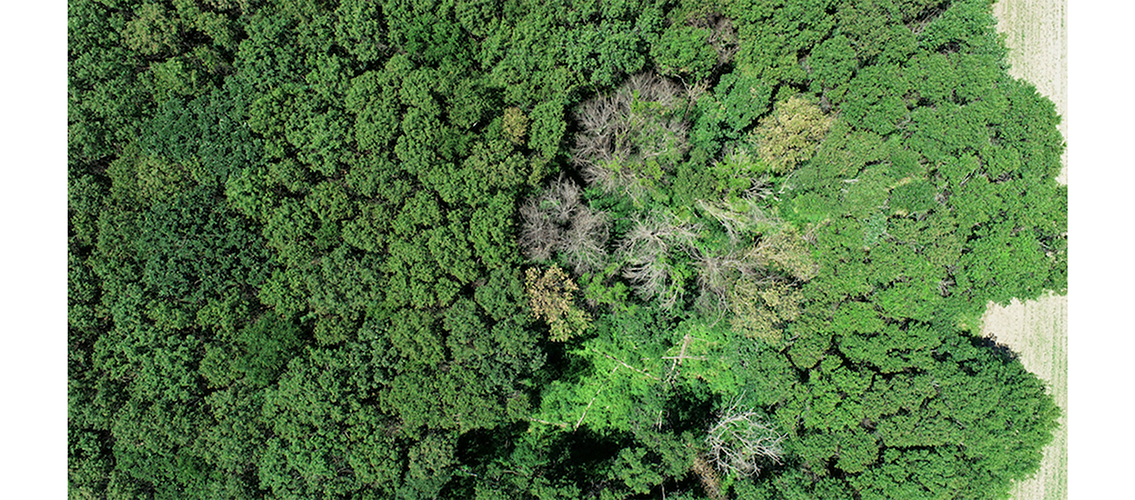
A major global change factor that is threatening the ecosystem services from forests, including their ability to regulate climate and support biodiversity, is the spread of invasive diseases that kill trees. Oak wilt, a fungus that is deadly to oak trees, can spread quickly through oak populations, but can be stopped if forest managers have access to an efficient way to learn quickly where the disease is appearing.
Recent research by MSI PI Jeannine Cavender-Bares (Distinguished McKnight University Professor, Ecology, Evolution, and Behavior) and colleagues uses satellite imagery of forests to view forests and determine, from differences in light reflection, what areas may be diseased. Computer algorithms are used to determine the seasonal patterns of disease spread, and the researchers can create maps to provide to forest-resource managers so that they can treat the diseased trees. A ground-breaking paper led by postdoc Antonio Guzmán developing a computational workflow using satellite data was published in the journal Remote Sensing of Environment earlier this past fall: J. Antonio Guzman Quesada, Jesus N. Pinto-Ledezma, David Frantz, Philip A. Townsend, Jennifer Juzwik, Jeannine Cavender-Bares. Mapping oak wilt disease from space using land surface phenology. Remote Sensing of Environment 298: 113794 (2023). doi: 10.1016/j.rse.2023.113794.
A story about the research also appears on the University of Minnesota News and Events website: Research Brief: Mapping deadly oak wilt disease from space to protect our forests. The researchers used MSI’s high-performance computing resources for the computational work on this project.